Rated 5 star on


Real Estate Swift Apps With Maps and AR
Quick answer
Native Swift apps help home buyers search on maps and picture life in a home. Buyers can draw search areas and check commute times. LiDAR-equipped iPhones and iPads can scan rooms into rough floor plans, and AR previews furniture at real scale. Label staged photos clearly and describe neighborhoods with facts.
Home buyers spend hours on maps: which neighborhoods fit, how long the commute is and what's nearby. Once they find a home, they wonder how big the rooms really are and whether their furniture will fit. Native iPhone apps built with Swift can answer both, using Apple's own map and augmented reality tools.
Key Takeaways
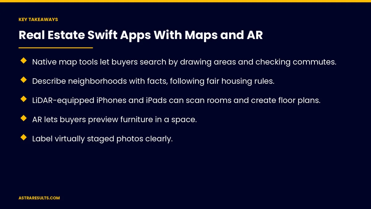
- Native map tools let buyers search by drawing areas and checking commutes.
- Describe neighborhoods with facts, following fair housing rules.
- LiDAR-equipped iPhones and iPads can scan rooms and create floor plans.
- AR lets buyers preview furniture in a space.
- Label virtually staged photos clearly.
- Apps rich in maps and AR are a strong case for native development.
Published: October 15, 2026 | Reading Time: ~8 minutes | Category: Swift Development
This guide covers real estate Swift apps: map search, commute times, neighborhood information, room scans and floor plans, AR furniture previews, virtual staging, saved searches, agent tools, rules to follow, why native fits and what to measure. Put plainly: use Apple's map and AR tools to help buyers search smarter and picture themselves in the home.
In This Playbook
- Map search
- Commute times
- Neighborhood information
- Which devices can scan rooms for floor plans?
- AR furniture previews
- Virtual staging
- Saved searches and alerts
- Agent tools
- Rules to follow
- Why do maps and AR favor native Swift apps?
- What to measure
- The first three months
Map search
Custom map pins. Price, status and photos at a glance.
Draw to search. Buyers outline the area they want.
Filters on the map. Price, beds, baths and features.
Smooth on every iPhone. Built with Apple's own map tools.
Commute times
Travel time to work or school. By car, transit or walking.
Several destinations. For households with different commutes.
Shown on each listing. So buyers compare quickly.
Neighborhood information
Facts, not opinions. Parks, shops, transit and distances.
Official sources. For schools and services, without steering language.
Flood information. In Florida, flood zone details and links to official maps.
Which devices can scan rooms for floor plans?
LiDAR devices. Pro iPhones and iPads can scan rooms.
Floor plans from scans. Apple's room-scanning tools create rough layouts.
Measurements. Room sizes to help buyers plan.
Clear labels. Scans are estimates, not official measurements.
AR furniture previews
Place furniture in a room. Buyers preview pieces at real scale.
At the property or later. Using scans or photos.
Simple to use. One tap to place and move items.
Virtual staging
Label staged photos. Clearly mark virtually staged images.
Show the empty room too. So buyers see what's real.
Saved searches and alerts
Saved areas and filters. Synced across devices.
New listing alerts. With consent.
Location permission. Only while the app is in use.
Agent tools
Showing schedules. And directions between homes.
Notes and photos. Shared with buyers after showings, as in real estate showings and follow-ups.
Tenant side. Rentals and residents, as in property management iPhone apps.
Rules to follow
MLS display rules. For listing data, as covered in real estate brokerage sites.
Fair housing. Describe homes and areas factually.
Privacy. Minimal location data and clear permissions, as covered in mobile app security basics.
Why do maps and AR favor native Swift apps?
Maps and AR work best natively. Full access to Apple's tools and device sensors.
One codebase trade-offs. AR-heavy apps often favor native, as weighed in the business case for one codebase.
Modern Swift. As weighed in SwiftUI vs UIKit.
What to measure
Searches and saved searches. Active buyers.
Showing requests. From the app.
AR and scan use. How often buyers use them.
Alerts opened. And listings viewed after alerts.
Leads per agent. From app users.
The first three months
Days 1–30: map search
Build map search with custom pins, draw-to-search, filters and commute times, following MLS display rules.
Days 31–60: AR and scans
Add room scans on LiDAR devices, AR furniture previews and clearly labeled virtual staging.
Days 61–90: alerts and agents
Add saved searches, consented alerts and agent showing tools, then measure searches, showing requests and AR use.
How Astra builds real estate Swift apps
Astra Results Marketing builds native iPhone apps for real estate firms. We use Apple's map and AR tools for search, commutes, room scans and furniture previews, follow MLS and fair housing rules and connect apps to your agents and listings.
Engagements begin with an app plan through our Swift app development team.
Related reading
Frequently asked questions
What can a real estate iPhone app do with maps?
Show listings as map pins, let buyers draw search areas, filter on the map and check commute times.
Can buyers measure rooms with their phones?
On LiDAR-equipped Pro iPhones and iPads, apps can scan rooms and create rough floor plans. Label them as estimates.
How does AR help buyers?
It lets them preview furniture at real scale in a room, helping them picture living there.
Do virtually staged photos need labels?
Yes. Clearly label staged images and show the empty room too.
What rules apply to real estate apps?
MLS display rules for listings, fair housing rules for descriptions and clear privacy permissions.
Why build natively instead of cross-platform?
Maps and AR work best with full access to Apple's tools and sensors, so AR-heavy apps often favor native.
Ready for a real estate app buyers keep opening? Astra Results Marketing builds native iPhone apps with map search, commute times, room scans and AR previews, following MLS and fair housing rules. ▸ CALL (786) 321-2866 · ▸ REQUEST YOUR CONSULTATION